Drone Services
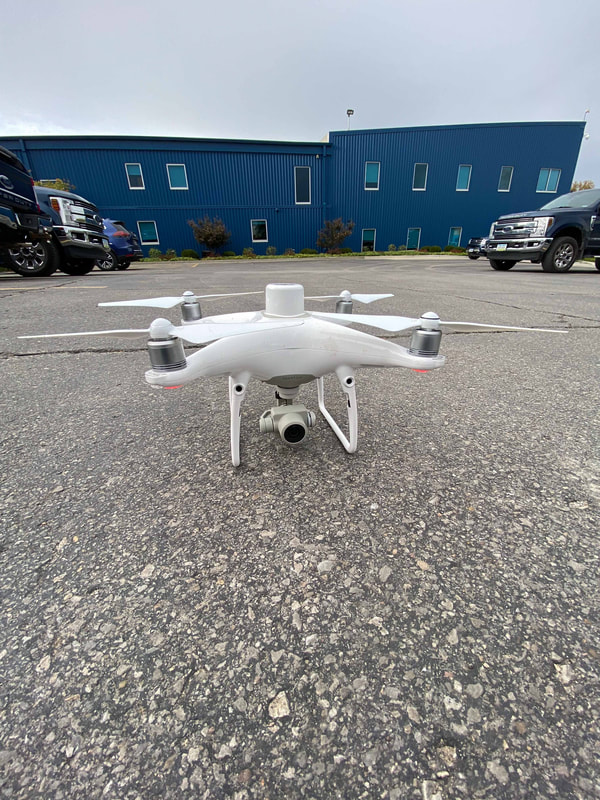
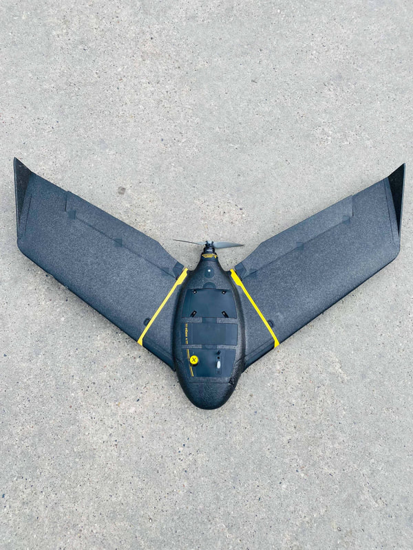
Rather than sending out a field technician to do a manual topo that could take a day or longer on large sites, ETG can utilize our drones to capture the same area, usually in less than an hour. This greatly reduces the amount of time spent on site and back in the office post-processing the topo data. This also helps reduce your safety risk especially near busy roads/highways as the field technician is no longer needing to walk or drive an ATV across the entire site. Instead of getting thousands of individual shots from a manual topo, you will receive millions of data points from the same sized survey with drone photogrammetry with typical +/- .10 accuracy. Clients will receive an aerial view of the site, CAD contours, and a CAD surface. Industries include Construction/Highway (Existing, Progress, Stockpile, and As-Built Topography), Quarry (Inventory Checks), and Waste Management.
ETG can also provide you with videography services, whether it to be to document certain site conditions or for marketing purposes.
ETG can also provide you with videography services, whether it to be to document certain site conditions or for marketing purposes.


